Grand Tour of the Écrins

Booking dates are not currently available for this trip. Please check back soon or contact us to plan your journey.
4,6 · 5 reviews
Pause vélo près de l'océan - Lanzarote - Espagne
Randonnée fleurie sous les sommets - Tour de l'Oisans - Écrins, France
fragp0044-grand-tour-des-ecrins-entre-refuge-des-souffles-et-col-des-colombes.-col-des-clochettes
fragp0044-itineraire-pas-de-la-cavale-ecrins
fragp0044-le-reou-d-arsine-et-ses-eaux-turquoises.meandres-coursier-cyr
fragp0044-parc-national-des-ecrins-col-de-la-vaurze-saulay-pascal.jpg
fragp0044-parc-national-des-ecrins-entre-les-aigues-maillet-thierry.jpg
fragp0044-parc-national-des-ecrins-lac-du-lauvitel-vincent-dominique.jpg
fragp0044-parc-national-des-ecrins-lac-lerie-au-fond-le-goleon-nicollet-bernard.tiff_
fragp0044-parc-national-des-ecrins-le-desert-en-valjouffrey-nicollet-bernard.jpg
fragp0044-parc-national-des-ecrins-le-refuge-de-vallonpierre-warluzelle-olivier.jpg
fragp0044-parc-national-des-ecrins-vallon-de-la-selle-montee-au-refuge-de-la-selle-sabatier-olivier.jpg
fragp0044-parc-national-des-ecrins-valsenestre-maillet-thierry.jpg
fragp0044
Randonneurs croisant un troupeau de moutons - Tour de l'Oisans - Alpes
Groupe de randonneurs en montagne - Provence - France
Randonneur dominant un vallon enneigé sur le Tour de l'Oisans - Écrins - France
Randonneurs sous des dalles rocheuses - Tour de l'Oisans - Écrins, Alpes
Randonneurs sur une passerelle - Tour du Canigou - Pyrénées - France
Troupeau de vaches près d'un lac d'altitude - Tour de l'Oisans - France
Randonneurs au lac alpin face aux sommets enneigés - Oisans - France
Randonneurs et vaches devant un lac d'altitude - Tour de l'Oisans - Alpes - France
Refuge au bord d'un lac de montagne - Massif des Écrins - Oisans - France
Randonneuse traversant un torrent de montagne - Alpes - France
Randonneurs en montée sur sentier rocailleux - Tour de l'Oisans - France
Refuge de montagne face aux sommets sur le Tour du Mont-Blanc - Alpes - France

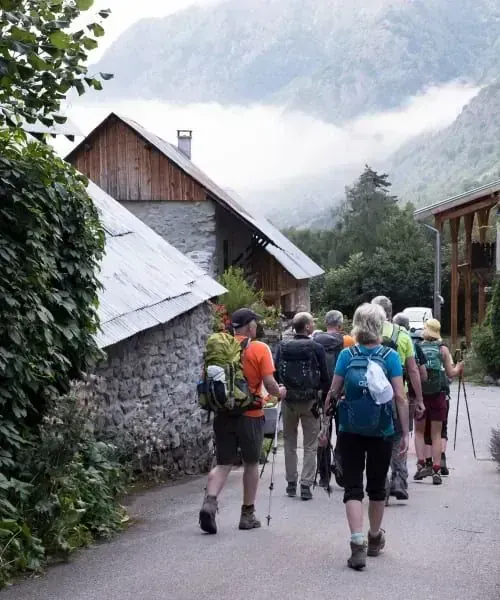
In the heart of one of the most unspoilt mountain ranges in the Alps, the Tour of Oisans and the Écrins (GR54) is a classic multi-day trek for experienced hikers. A specialist in trekking in the Écrins, Grand Angle offers a challenging, comprehensive route through this high-mountain landscape, where glaciers, jagged peaks and hidden valleys meet.

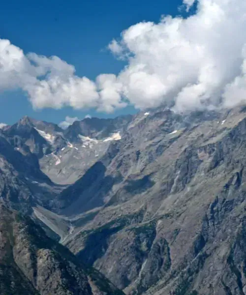
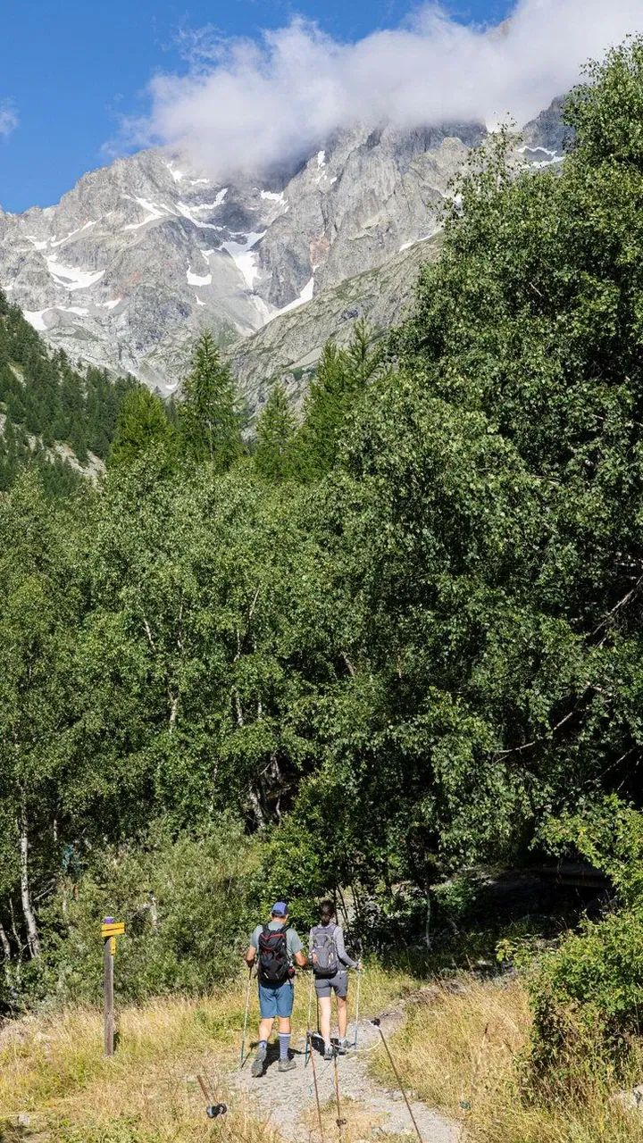
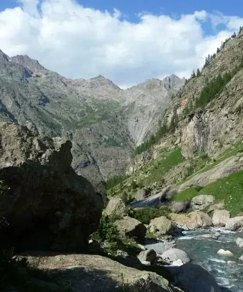
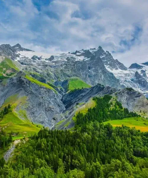
The rhythm of this group hiking trip is set by crossing at least one mountain pass each day, revealing the diversity of the landscapes between the northern and southern Alps. You will hike through rugged, rocky terrain beneath iconic peaks such as La Meije, Le Pelvoux and the Barre des Écrins, and cross valleys with distinctive character, including Valgaudemar, Champsaur and Vallouise. This route immerses you in a wild mountain world, where your efforts are continually rewarded with beautiful panoramic views.

This trip is offered as a guided trek, allowing you to focus on what matters most. For hikers who prefer to explore independently, discover our self-guided Tour of Oisans.

Itinerary

Elevation profile

J1 — Col de la Trancoulette (2293 m) → Vallouise (1160 m)14.2 km · D+ 720 m · D- 1,450 m · 1,157–2,586 m

J2 — Entre-les-Aigues (1615 m) → Col de l'Aup Martin (2761 m) → Refuge du Pré de la Chaumette (1810 m)16.7 km · D+ 1,220 m · D- 1,030 m · 1,606–2,760 m

J3 — Col de Vallonpierre (2607 m) → La Chapelle en Valgaudemar (1100 m)18.9 km · D+ 1,400 m · D- 1,560 m · 1,517–2,662 m

J4 — Col de Colombes (2423m) → Refuge des Souffles (1968m)10.1 km · D+ 1,360 m · D- 480 m · 1,086–2,415 m

J5 — Col de la Vaurze (2500 m) → Valsenestre (1295 m)11.0 km · D+ 700 m · D- 1,410 m · 1,255–2,496 m

J6 — Col de la Muzelle (2613m) → Refuge de la Muzelle9.3 km · D+ 1,360 m · D- 540 m · 1,292–2,617 m

J7 — Col du Vallon (2531m) → Besse-en-Oisans (1550m)10.6 km · D+ 590 m · D- 1,710 m · 977–2,531 m

J8 — Plateau d'Emparis → La Grave (1500 m) → Villar d’Arène (1670 m)21.7 km · D+ 1,390 m · D- 1,300 m · 1,452–2,456 m

J9 — Col d'Arsine (2340 m) → Le Casset (1512 m)18.2 km · D+ 50 m · D- 370 m · 1,201–1,514 m

J9 — Col d'Arsine (2340 m) → Le Casset (1512 m)18.8 km · D+ 850 m · D- 980 m · 1,514–2,353 m

Program

Meet at 8:30 am outside Briançon railway station, dressed and ready to hike. A short transfer takes us to the hamlet of Les Combes. We climb through the larches and rhododendrons of the Partias Nature Reserve to reach the Col de la Trancoulette. The trail then winds between glacial moraines and meadows in the Peyre du Fey valley to reach the Col de Vallouise, an excellent viewpoint overlooking Le Pelvoux and the Barre des Écrins, and the gateway into the Vallouise valley.

AccommodationOvernight in a hikers' lodge in Vallouise
InfoWalking time: 5 hours 30 minutes
D+Ascent: 730m
D-Descent: 1300m

Transfer to the ruins of Entre-les-Aigues, where you set off towards the Col de l’Aup Martin through the broad pastures of the Selle valley. Shortly after this first pass, the Pas de la Cavale (2735m) opens the way into Champsaur. You descend to spend the night at the staffed Refuge du Pré de la Chaumette, nestled in the upper Champoléon valley.

Note: Early in the season, when the Col de l’Aup Martin is covered in snow, a transfer takes us to the Fournel valley, where we set off towards the Pas de la Cavale (2735m).

AccommodationOvernight at the Refuge du Pré de la Chaumette
InfoWalking time: 6 hours 30 minutes
D+Ascent: 1200m
D-Descent: 1000m

We climb behind the refuge and follow a balcony trail around the imposing Sirac (3441m) and its hanging glaciers. After crossing the three passes of Col de la Valette, Col de Gouiran and Col de Vallonpierre, we descend into Valgaudemar for a picnic beside Lac de Vallonpierre. We then make our way to the Chalet du Gioberney, where the shuttle is waiting to take us to La Chapelle-en-Valgaudemar.

AccommodationOvernight in a gîte in La Chapelle-en-Valgaudemar
InfoWalking time: 7 hours
D+Ascent: 1150m
D-Descent: 1400m

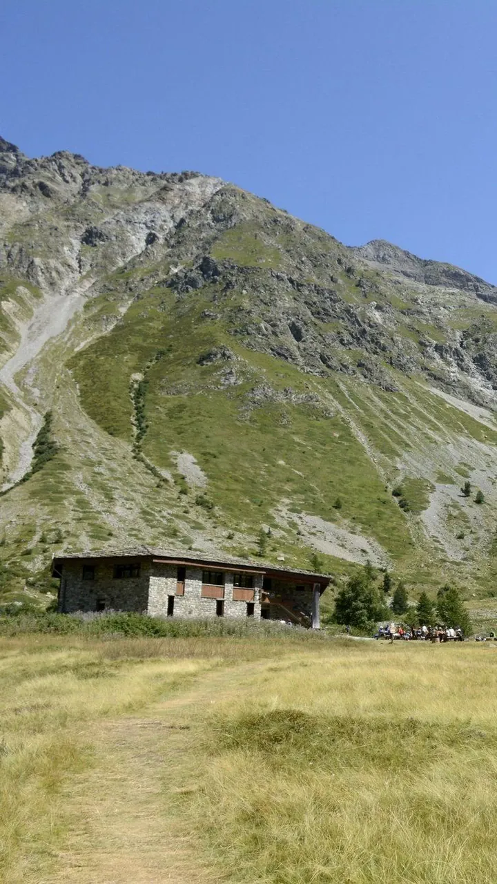
From the village of La Chapelle-en-Valgaudemar (1085m), the route heads towards the Refuge de l’Olan along a well-defined trail that climbs steeply through a series of switchbacks. Before long, the surroundings take on a distinctly alpine character: the path runs beside spectacular waterfalls fed by the rushing waters of the Torrent du Clot, creating a refreshing, lively setting. After a short rocky step, the trail reaches a junction. Taking the left fork leads you along a more direct route to Col de Colombes (2423m), then Col des Clochettes (2183m), with the Refuge des Souffles (1968m) as your destination. Nestled in a larch wood, the refuge welcomes you in an idyllic setting with views of the surrounding ridges.

AccommodationOvernight at the Refuge des Souffles
InfoWalking time: 6 hours 30 minutes
D+Ascent: 1400m
D-Descent: 500m

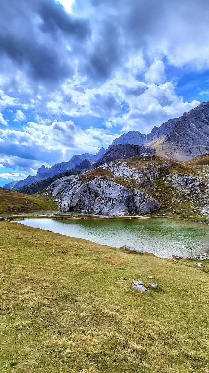
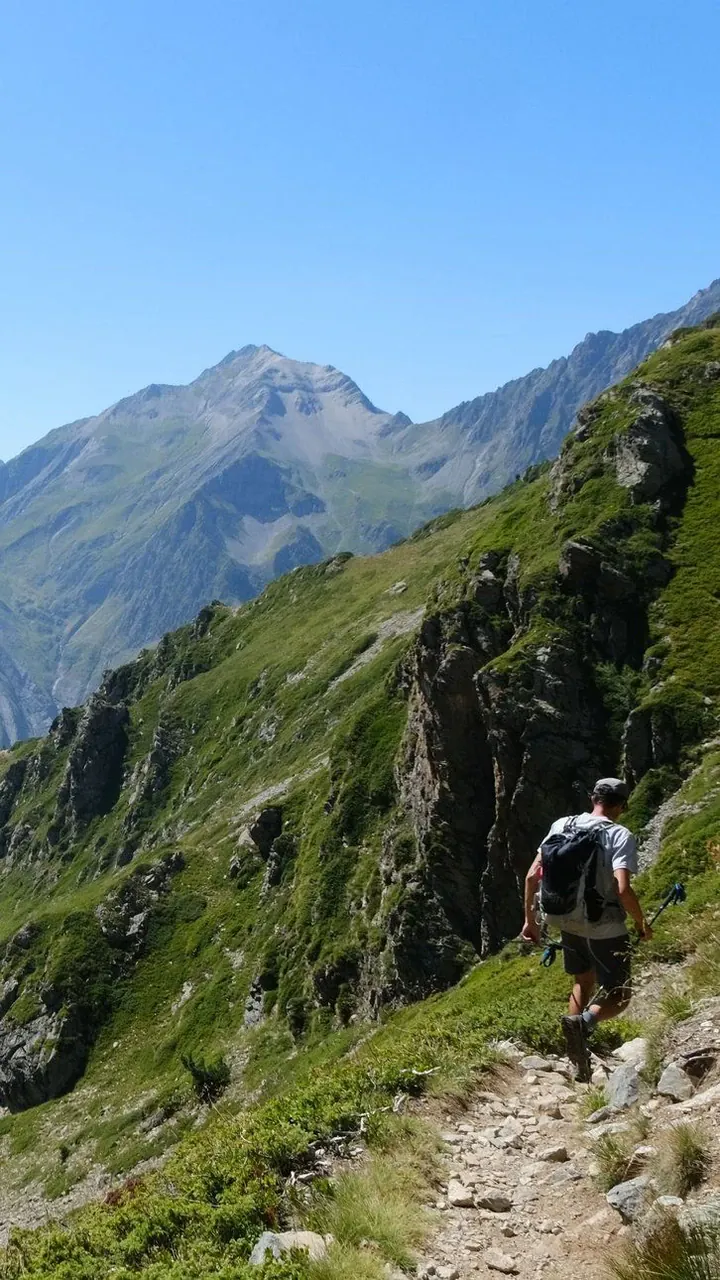
From the Refuge des Souffles (1968m), nestled in a beautiful larch forest overlooking the Valgaudemar valley, you begin a magnificent traverse into Isère via Col de la Vaurze (2491m). The day starts with a gentle climb through alpine pastures before the trail rises more steeply into a high-mountain landscape of scree, green slopes and rock faces. The descent then takes you to Le Désert-en-Valjouffrey, a hamlet with an “end-of-the-world” charm. Finally, a transfer takes you to the small hamlet of Valsenestre, tucked away at the head of the Béranger valley, in the heart of a nature reserve.

AccommodationOvernight in a gîte in Valsenestre
InfoWalking time: 5 hours 30 minutes
D+Ascent: 650m
D-Descent: 1300m

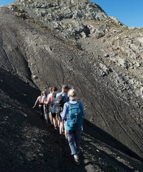
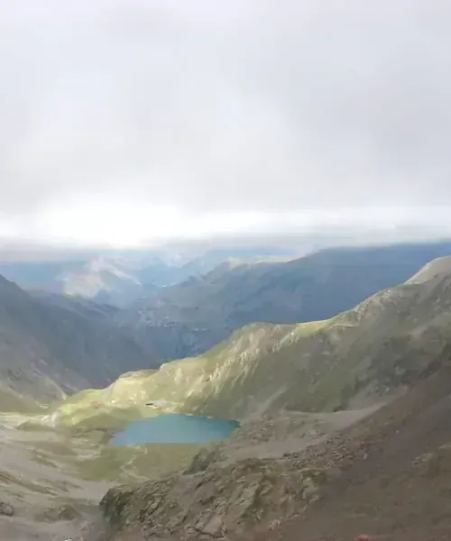
Col de la Muzelle, with its fifty switchbacks carved into the schist, lives up to its legendary reputation. Towered over by the majestic rock faces of La Muzelle and Clapier du Peyron, the climb immerses hikers in a high-mountain setting. At the top, the sight is breathtaking: Lac de la Muzelle reflects the surrounding glaciers in a magnificent landscape. A short descent finally brings you to the refuge of the same name, a peaceful place to rest for the night.

AccommodationOvernight at the Refuge de la Muzelle
InfoWalking time: 5 hours
D+Ascent: 1350m
D-Descent: 500m

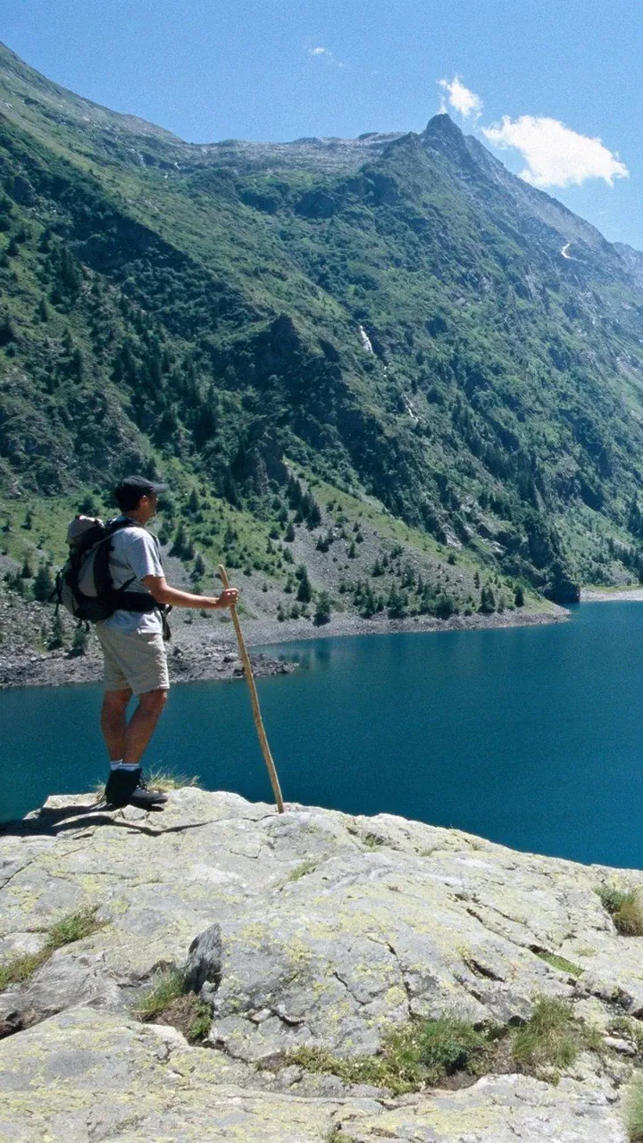
Between the two high-altitude lakes that make the valleys above the Vénéon so renowned, the Col du Vallon (2531m) offers a unique crossing. On one side lies the Lauvitel valley, protected by a strict nature reserve and crossed by a stone-paved trail; on the other, the Muzelle valley, shaped by pastoral life, with its mountain hut and peat bogs. The GR 54 takes us to Lac du Lauvitel, a beautiful lake nestled at the foot of the reserve. The day ends in the hamlet of La Danchère, followed by a transfer to Besse-en-Oisans.

AccommodationOvernight in a hikers' lodge in Besse-en-Oisans
InfoWalking time : 5h30
D+Ascent : 500m
D-Descent : 1500m

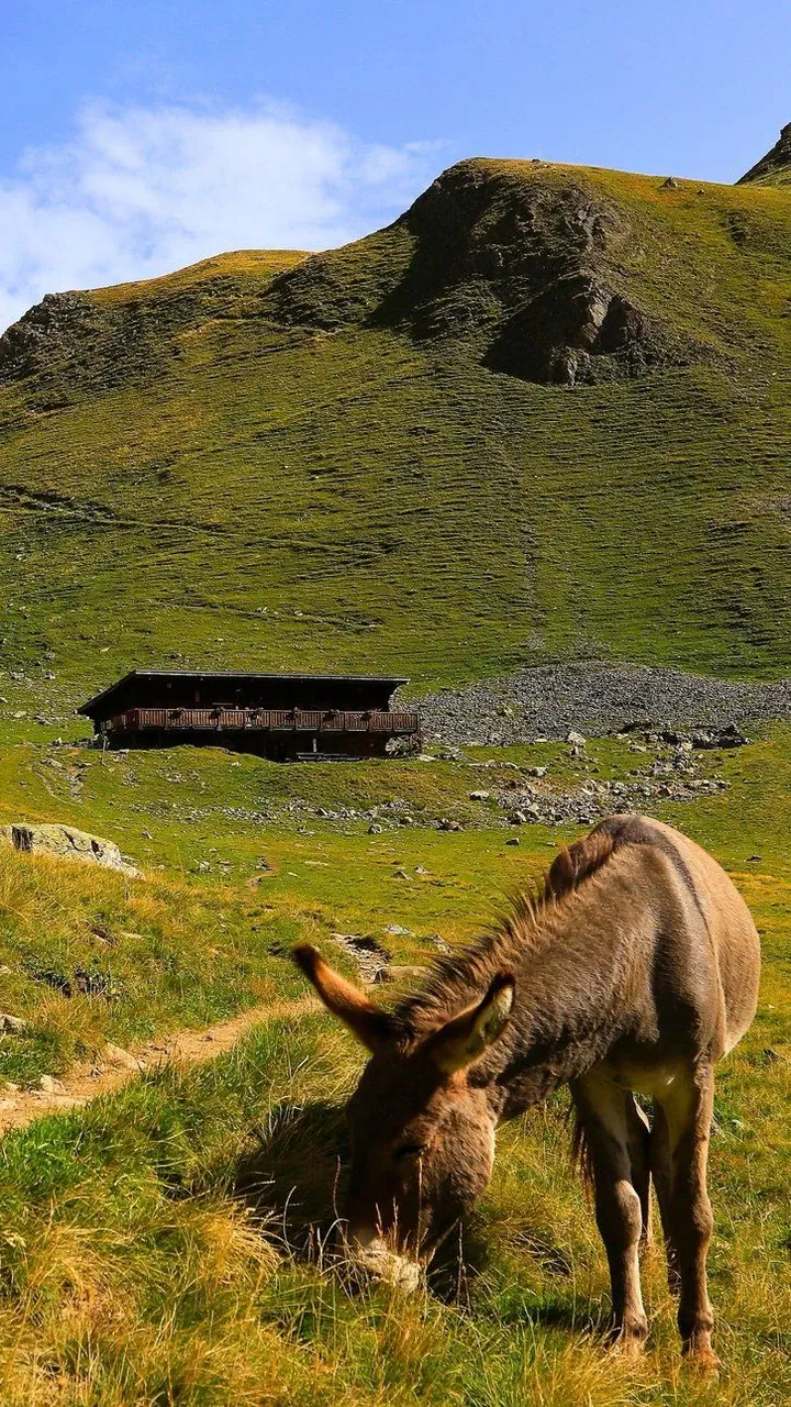
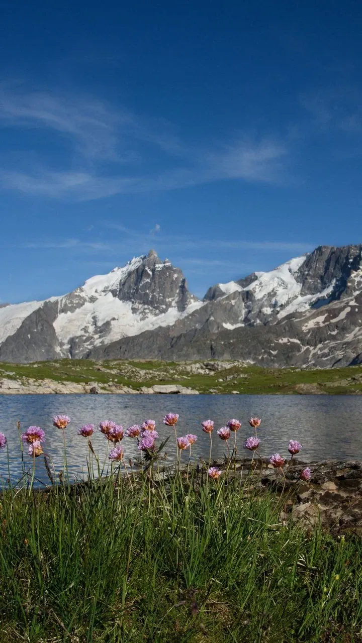
Crossing the Plateau d’Emparis, at an altitude of over 2000m metres, where herds graze beneath the imposing peaks of La Meije (3983m) and Le Râteau (3809m), is an unforgettable experience. Amid these vast expanses of lush grassland, Lac Lérié and Lac Noir reflect the glaciers rising before us. From La Grave, we continue towards Villar-d’Arène, following the rushing waters of the Romanche.

AccommodationOvernight in a hikers' lodge in Villar d’Arène
InfoWalking time : 7h30
D+Ascent : 1100m
D-Descent : 1000m

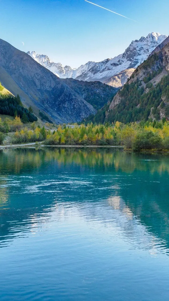
The route follows the wooded banks of the Romanche for a while before climbing towards the alpine meadows of the Col d’Arsine. Here, the Montagne des Agneaux and its glaciers feed the Petit Tabuc, a striking mountain stream with turquoise hues, which we follow to the hamlet of Le Casset, where our hike ends.

Transfer to Briançon, where we say goodbye at the railway station at around 17:00.

InfoWalking time : 5h30
D+Ascent : 800m
D-Descent : 950m

We may need to change the itinerary shown, either for logistical reasons (accommodation capacity issues, splitting groups, changes in ground conditions, rockfalls, damaged trails, etc.) or at the guide’s discretion (weather, the group’s ability, etc.). These changes are always made in your best interests, for your safety and greater comfort!

Dates, prices and booking

Booking dates are not currently available for this trip. Please check back soon or contact us to plan your journey.

Ask about upcoming departures

Prices include

  • Accommodation as described in the itinerary
  • Guiding services
  • Meals from lunch on Day 1 to lunch on Day 9
  • Trail snacks
  • The local transfers listed
  • Luggage transfers (except for the nights of Days 2, 4 and 6)

Prices do not include

  • Travel to and from the trip
  • Individual drinks
  • Personal expenses
  • Insurance
  • Booking fees
  • Anything not listed under “Prices include”
Options & supplements
  • Extra night in Briançon: contact us for prices.

Your advisor

Cassandre Dufour

Cassandre Dufour

Travel expert in France, Switzerland and Italy.

Write

Technical and practical information

Challenging. From 5 to 8 hours of walking and/or 700 to 1000m of ascent and 700 to 1500m of descent per day. Some technical sections, a mix of tracks and trails, possible lingering snow patches early in the season, steeper slopes on both ascents and descents, and occasionally a fixed handrail. Some sections may be at high altitude.
Your profile: you are fit, have good stamina and walk very regularly on or off trails.

You carry only your belongings for the day (including your picnic lunch), except for the overnight stops on Days 2, 4 and 6, which cannot be reached by vehicle. You will need to bring a change of clothes for one evening. You will be reunited with your luggage at the next stop. The rest of your belongings will be transported by vehicle.

Accommodation

Accommodation in shared rooms in walkers' lodges, with three nights in staffed mountain huts. Single rooms are not available on this trip.

Food

Dinner and breakfast are served at your accommodation (hearty, traditional cooking). Your guide prepares the picnic lunches. A bag of trail snacks will be provided at the start of the trip.

Guiding

A state-qualified mountain walking guide.

9 days / 8 nights / 9 days of hiking.

From 4 to 14 participants.

Meeting point / End of trip

Meeting point

On Day 1 at 8:30 am outside Briançon SNCF railway station. You arrive in the morning. You must be dressed for hiking and have your daypack ready, so you can set off on the hike straight away.

End of trip

On Day 9 at around 5 pm outside Briançon SNCF railway station.

The trip runs from Sunday to Monday. Departures from July to September.

By train

You can consult the website: https://www.sncf-connect.com/

Briançon SNCF railway station.

Several options:

  • Direct overnight train from Paris-Austerlitz station. During the day, trains run from Marseille, Grenoble or Valence (with connections to TGV high-speed trains). Book at https://www.sncf-connect.com/
  • Oulx TGV station (Italy): direct TGV from Paris (connections for Lyon and Grenoble). From Paris, allow approximately 4 to 5 hours for the journey. At Oulx, a 05 passenger shuttle meets each arriving TGV and takes you to Briançon for approximately 10 €. We recommend booking your tickets in advance on the website: https://zou.maregionsud.fr. An additional night in Briançon is required.
  • Grenoble SNCF railway station, then regular coaches to Briançon. The coach station is next to the SNCF railway station: https://services-zou.maregionsud.fr.

By car

You can check your route at www.viamichelin.fr.

  • Grenoble / La Mure / Col Bayard / Gap via the RN85. Then head towards Briançon via the RN94.
  • Grenoble / Col du Lautaret / Briançon via the RN91, then the RN94 (for this route, check that the road is open).

Parking your car

You can leave your car in the car park at Briançon SNCF railway station. Parking is free and unattended, but safe.

A number of our trips offer opportunities for swimming, either along the way or at the end of the day. It would be a shame not to make the most of them. However, please note that your guides are not lifeguards; you therefore swim under your own responsibility and at your own risk.

Member of Agir pour un Tourisme Responsable (ATR)

Since 2012, Grand Angle has been a member of ATR, the leading association for more responsible tourism. We design our trips – on foot, by bike and on snow – to invite everyone to discover the world differently: with curiosity, respect and kindness.

As members of the board of directors since 2018, we actively help the sector develop more meaningful practices. In practical terms, we focus on:

  • Transparency in our practices and prices
  • Respect for our partners and local communities
  • Protecting the environment on every trip

We also share the values of the traveller’s ethical charter, which encourages everyone to take simple steps to protect the places they visit and make meaningful connections with the people they meet.

Travelife Partner

Since 2025, Grand Angle has held Travelife Partner status, an international label that certifies our responsible environmental, ethical and sustainable management practices, both within our company and in our work with partners and the organisation of our trips.

This label, the second level of a rigorous international certification scheme, recognises our practical actions in support of responsible tourism. We are actively working towards the next level, Travelife Certified, in line with our sustainable development policy


In this section, you will find links to products from our partner Alpinstore, a French online retailer specialising in outdoor equipment, based in Annecy.

For carrying your belongings

  • A comfortable 30 to 50 L backpack with a hip belt to carry your personal belongings and picnic lunch during the day
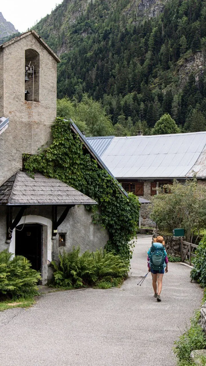
  • One piece of luggage for transfer: a backpack, a travel bag in good condition or a reasonably compact suitcase. One bag per person, weighing no more than 15kg

Discover how to pack your hiking backpack properly in our magazine.

For hiking

  • Hiking boots with ankle support, a good deeply treaded sole, a supportive heel counter and good waterproofing
  • Comfortable hiking socks (at least 3 pairs)
  • A fleece
  • Comfortable walking trousers (quick-drying technical fabric)
  • Comfortable technical shorts
  • Technical T-shirts or base layers (quick-drying fabric)
  • A long-sleeved shirt
  • Walking poles (telescopic), which are very important for making walking easier. Discover all the benefits of hiking poles in our dedicated article or how to choose your hiking poles

Note: technical synthetic clothing performs very well. New merino wool clothing has also become available; it performs very well, is comfortable to wear, and has the advantage of not developing sweat odours! In general, avoid cotton, which makes you cold when wet.

For your lunchtime picnic

  • Your cooking kit: a plastic bowl, container or plate, and cutlery (spoon, fork, knife)
  • 1 or 2 water bottles (a total capacity of at least 1,5 L) – compulsory –; an insulated flask for winter

Protection from sun and rain

  • Sunscreen (high protection)
  • Sunglasses
  • A hat, cap or bucket hat
  • A rain poncho or a waterproof jacket, such as a softshell or Gore-Tex jacket, and possibly waterproof trousers

After your hike

  • A sleeping bag liner
  • A pair of trainers or running shoes for the evening
  • A change of clothes and underwear
  • A sleeping bag liner (blankets are provided)
  • A toiletry bag and small towel
  • A small first-aid kit: personal medication, Elastoplast, Biogaze or “2nd skin”, gauze, disinfectant, arnica granules and aspirin for minor aches and injuries… (quite a list! But rest assured, your first-aid kit often comes home untouched after your week of hiking)

Find these tips in our article “What to take with you on a hike”.

A valid national identity card or passport.

In the Ecrins massif, the climate is generally dry and cold because of the altitude. Having the right equipment for winter hiking trips is essential: a warm hat, gaiters, gloves and glove liners… In summer too, the altitude makes the sun’s rays particularly drying: bring water! Finally, in both summer and winter, the UV index is often high, and you can feel it. Pack a hat and sunscreen in your bag.

Ecrins Regional Nature Park
Domaine de Charance
05000 GAP
Tel.: 0492402010
Website: www.ecrins-parcnational.fr

IGN TOP253336ET - Les Deux Alpes
IGN TOP253436OT - Meije-Pelvoux
IGN TOP253536OT - Briançon
IGN TOP253437ET - Orcières-Merlettes

Reviews

4,6 · 5 reviews

Juan 8/16/26

—  A truly beautiful Tour des Ecrins, well-organized both in the sequence of its stages and in the selection of its lodgings and mountain huts. Definitely an excellent choice for a hiker who wants to “get a taste” of Level 4 hiking while exploring the high mountains—the Southern Alps, in this case. Besides, being part of a friendly group of people at a similar skill level definitely makes things easier....

Thibault 12/27/25

—  A very enjoyable tour with a wide variety of landscapes, well worth the detour!!!! The scenery is worth the detour and helps motivate you to climb the many passes.

Régis 9/28/26

—  This is a physically demanding hike, so it’s best to be well prepared. Nevertheless, the scenery is breathtaking, and the route is designed to help you fully appreciate and explore this mountain range. The landscape offers extraordinary diversity. You’ll go from dizzying mountain passes to high-altitude plateaus with views of glaciers, then descend every other day into quiet, wooded valleys. A superb journey.

Arnaud 12/27/25

—  A beautiful course Quite difficult Wide open spaces A mix of landscapes Many glaciers A very steep massif Vertiginous passages

Would you like to make this a private trip?

Travel with friends or family on dates that suit you. Tell our specialists what you have in mind.

We also recommend

  • Hikers trekking facing the Aiguille Verte - Mont Blanc - France
    Our favourite

    Tour du Mont Blanc, the classic route

    Guided (fr) Hiking lodge to lodge

    From €1,120

    4,8 · 57 reviews

    7 days
    ●●●
    Friendly
    Next guaranteed departure May 23, 2027
  • itagp0012-alpe-di-siusi_0
    New

    Tour of the Dolomites' Most Beautiful Mountain Huts

    Guided Hiking lodge to lodge

    From €2,815

    4,9 · 16 reviews

    8 days
    ●●●●
    Friendly
    Next departure Jul 11, 2027
  • Wooden rowboats on Lake Braies - Dolomites, Italy
    Our favourite

    Dolomites Hut to Hut, from Lago di Braies to Tre Cime di Lavaredo

    Self-guided Hiking lodge to lodge

    From €1,010

    4,3 · 21 reviews

    7 days
    ●●●
    Friendly
    Next departure from Jun 15, 2027
  • Hikers on a meadow toward the peaks - Dolomites - Italy
    Our favourite

    Tour of the Dolomites via the Most Beautiful Mountain Huts

    Self-guided Hiking lodge to lodge

    From €820

    4,8 · 6 reviews

    7 days
    ●●●
    Friendly
    Next departure from Jun 15, 2027
  • Hiker looking over the Bavarian Alps - Bavaria - Germany
    Our favourite

    From Munich to Venice via the Krimml Waterfalls and Tre Cime di Lavaredo

    Self-guided Hiking lodge to lodge

    From €1,690

    4,6 · 21 reviews

    12 days
    ●●●
    Friendly
    Next departure from Jun 15, 2027
  • Hiker at Pic Saint-Michel overlooking Grenoble - Vercors
    Our favourite

    Tour of the Vercors

    Self-guided Hiking lodge to lodge

    From €990

    4,6 · 47 reviews

    7 days
    ●●●
    Comfort
    Next departure from May 12, 2027

Continue exploring

Guided tours Self-guided Cycling Tailor-made
Dolomites Mont Blanc Danube by bike Madeira All destinations
Guided tours Self-guided Cycling
Tailor-made travel Trip insurance Contact
About us